Humanitarian Student Mapping Group - Trier University

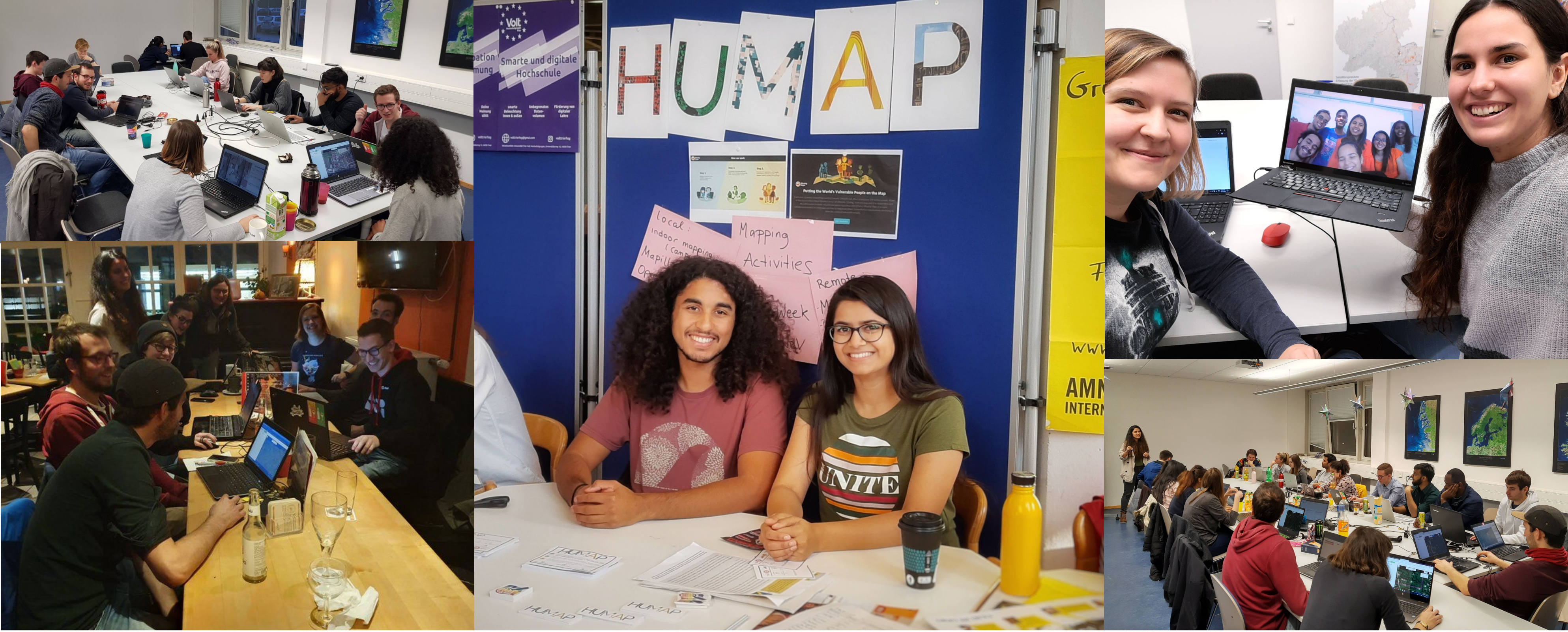
We are a group of students at Trier University whose primary mission is to contribute Volunteered Geographic Information (VGI) for humanitarian emergency response actions. Many parts of the world's most vulnerable places are not mapped and are thus "hidden" in printed and digital maps. Humanitarian crises such as natural disasters, disease outbreaks, epidemics or conflicts hit particularly hard when the ground situation is unknown. Therefore we use our meetings to trace satellite imagery in order to put people at risk onto the open map OpenStreetMap!